Leeds weather: Will it snow on Tuesday? Forecast in full as Leeds Council grits roads overnight
and live on Freeview channel 276
Residents in West Leeds were forced to bail water to protect their homes on Sunday after Wortley Beck burst its banks.
There were a number of flood warnings and alerts still in place across the city on Monday as snow began to settle.
Advertisement
Hide AdAdvertisement
Hide AdResidents living near the River Aire at Allerton Ings, Barnsdale Road, and at Newton and Fairburn were told to take immediate action to protect their homes.
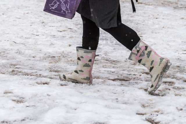

But Leeds escaped any further flooding on Monday as the snow remained light.
One primary school in Leeds, Calverley Parkside Primary, was forced to close after its heating failed - but there were no further school closures.
Roads were gritted overnight but stayed clear.
A yellow weather warning for snow has been issued by the Met Office as temperatures plummeted below freezing on Monday night.
Advertisement
Hide AdAdvertisement
Hide AdThe warning is in place across the city until 11.59pm on Wednesday, so we are likely to see more snow in Leeds over the next few days.
Storm Darcy has brought heavy snowfall and gale force winds to parts of England.
Easterly winds from the Ukraine and Black Sea arrived on Sunday, bringing an intense chill - but the air is not quite as bitingly cold as it was with the Beast from the East in 2018, the Met Office said.
What is the weather outlook for Leeds?
Leeds Council gritted its major routes overnight as forecasters predicted flurries of both light and heavy snow early on Tuesday morning.
Advertisement
Hide AdAdvertisement
Hide AdLeeds could see light flurries of snow on Tuesday, but it will be much drier than the last few days, with spells of sunshine.
The Met Office forecast for Leeds says: "Snow showers continuing, but some brightness between the showers. Icy stretches remain possible with bitterly cold, fresh easterly winds.
"Another hard frost overnight on Tuesday. Maximum temperature 2C."
Snow showers are forecast initially on Wednesday, but will become lighter and then clear later in the day.
Advertisement
Hide AdAdvertisement
Hide AdIt will be drier and brighter on Thursday, forecasters say, with a risk of snow again Friday.
Temperatures will be bitterly cold with hard frosts and icy patches.
How to drive safely in snow
- Slow down
Snow, ice and water on the road reduce grip and, coupled with poor visibility in bad weather, they mean it’s essential that you cut your speed.